The West Village Neighborhood Guide, Block by Block
This is the West Village the way people who actually live west of Sixth Avenue navigate it, not the postcard version, block by confusing block.
Stand at West 4th Street and West 10th Street and watch a stranger's face when they realize what just happened. West 4th, which is supposed to run perpendicular and stay in its lane, has already crossed West 10th, then West 11th, then West 12th, numbers colliding with numbers in a sequence that only makes sense once you accept the neighborhood was laid out before Manhattan's grid existed and never got the memo. That's the first rule in the West Village neighborhood guide nobody hands you when you come up the stairs at Christopher Street: this is farmland logic wearing street signs, and the confusion is the point. Locals don't fight it. They know Bleecker bends, Waverly forks in two directions, and Christopher Street cuts its own angle because the ground underneath predates the grid by a couple hundred years.
The West Village Neighborhood Guide to the Grid That Isn't One
The numbered streets north of the tangle behave themselves eventually, but south and west of Sixth Avenue you're in the old Village, where the lanes twist into each other at angles no surveyor would approve today. A few to know before you get turned around:
- Bedford Street, one of the narrowest, most photographed blocks in the neighborhood
- Grove Street, which feeds into Christopher Street without warning
- Commerce Street, bent twice in under a block, with the Cherry Lane Theatre sitting on the elbow
- Barrow Street, running its own angle down toward Hudson
Walk it without a phone once. You'll get turned around, and that's fine, because getting turned around here is a feature, not a failure of navigation.
Christopher Street Carries the Weight
Christopher Street is the spine of the neighborhood's history and it doesn't hide from it. Across from where the Stonewall Inn still operates, Christopher Park functions as a small plaza and a monument at once. People sit, people take photos, people just stand there for a minute. That corner is why the West Village became a landing point for generations of queer New Yorkers, and it still reads that way on a Saturday afternoon, rainbow flags mixing with dog walkers and stroller traffic like it's the most normal thing in the world, because by now it is. Two different stations share the name here, the 1 train at Christopher Street–Sheridan Square and the PATH a couple of blocks west, and either one drops you into the middle of it with no transition and no warning.
Bleecker and Hudson Do the Daily Work
Bleecker Street west of Sixth Avenue is a different animal from Bleecker further east. Here it's low storefronts, a handful of shops that have outlasted several waves of turnover, and enough foot traffic that you never have the sidewalk to yourself. Hudson Street runs parallel and does more of the daily labor: pharmacies, dry cleaners, a diner or two, the kind of density that makes the West Village function as an actual neighborhood rather than a movie set. You can find a proper slice within a few blocks in almost any direction, and a decent bagel isn't hard to track down either, which matters more to daily life here than any list admits. In the evening the same blocks fill with people headed to a natural wine bar on Hudson or Bedford, no reservation, just a wait at the door.
Greenwich Avenue Cuts Its Own Line
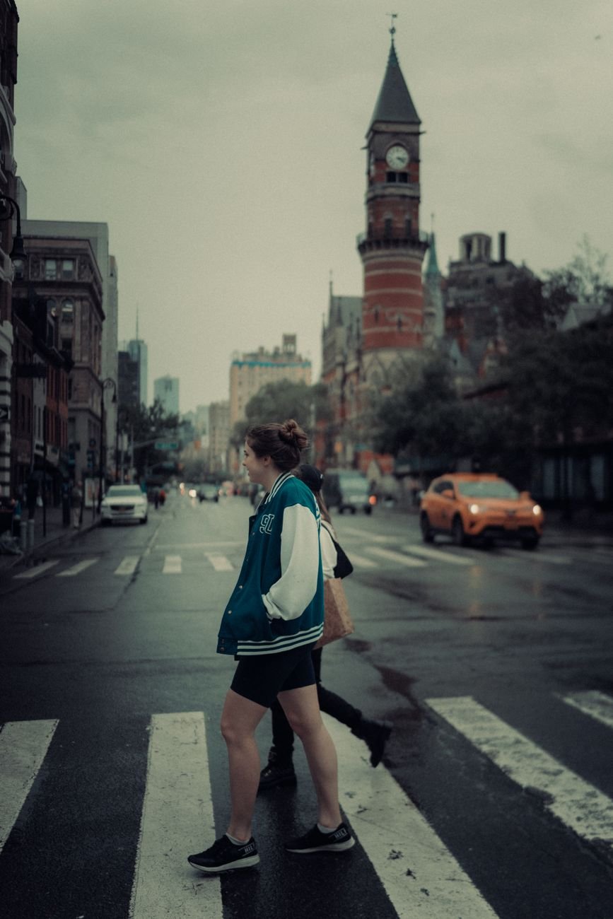
Greenwich Avenue runs on the diagonal through the middle of everything, slicing across the numbered streets at an angle that still confuses people who've lived here for years. Follow it toward Sixth Avenue and you land at the Jefferson Market Library, the red brick clock tower that used to be a courthouse and now gives the neighborhood its most recognizable silhouette. The small garden beside it is one of the quieter places to sit in this part of Manhattan. This stretch is more residential than the Christopher Street corridor, more doctors' offices and dry cleaners than bars, and it's the part of the West Village that reminds you people live entire lives here, not just weekend ones.
Where the Neighborhood Runs Out of Land
West of Washington Street the Village hits Hudson River Park, and the piers there do double duty as running path, sunset bench, and the closest thing to open horizon Manhattan offers below 14th Street. Walk south along the water and the West Village blurs into the Meatpacking District, where the High Line's south end drops walkers back to street level and the Whitney sits at the base of it, glass and steel against the older brick everywhere else. That contrast, cobblestone one block and museum architecture the next, is the clearest evidence of how fast this edge of the neighborhood changed once the freight trains stopped running on the viaduct overhead.
Washington Square Park Marks the Line
The eastern edge is less a street than an argument. Washington Square Park is public, but NYU has grown around it to the point where the arch reads as a campus landmark to anyone under twenty-five, and the West Village proper starts a block or two west of it, where the crowds thin and the buildings drop back to human scale. Locals will tell you the real neighborhood begins once you stop hearing a cappella groups rehearsing near the fountain.
None of this resolves into a map you can memorize in one visit, and that's the honest takeaway: the West Village rewards people willing to get lost in it more than once. The grid won't help you. The street signs will occasionally lie. Go anyway, let Bedford Street dead-end where it wants to, and you'll leave knowing the neighborhood the way people who live here do, by feel and not by directions.